River Health Assessment
Canada

Health and Threat Assessment of Canada's Rivers
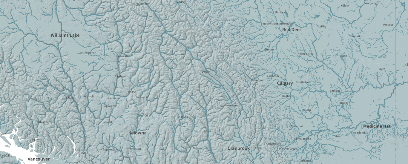
Canada has one-fifth of the world’s freshwater. Thousands of interconnected rivers and lakes across the country provide freshwater for the people and the environment. WWF Canada is currently completing the first Canada-wide assessment of the country’s watersheds, focusing on four indicators of river health and seven key threats. Based on field measurements, health and threat indicators are assigned to individual sub-watersheds and watersheds.
WWF commissioned Dumpark Limited, a Wellington (NZ) based agency specialising in data visualisation to design and develop an interactive map that illustrate WWF’s effort in measuring Canada’s rivers health and assessing threats to the freshwater ecosystems. We participated in implementing this interactive visualisation by working with geo-located river networks and stream order attributes known in mathematics as the Strahler number (named after the work of geoscientist and hydrologist Arthur Newell Strahler). The main objective was to reduce large GIS dataset of interconnected networks to support a web based dynamic visualisation of freshwater systems.